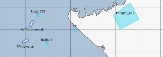
High Performance, custom GIS systems with Navigational utilities, custom Maps & digital Plotting Tools. Manage FTTH cabling, GSM assets & create Common Operation Pictures.
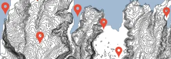
Track any kind of Land, Air or Water borne vehicle like Aircraft, Boats and Cars. Works without any dependency on external RF infrastructure like GSM towers and provides encrypted data links.
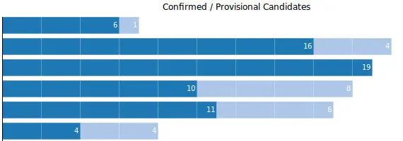
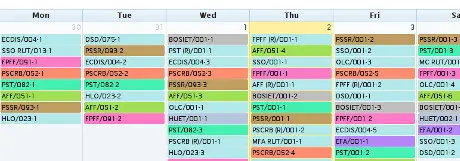
ERP for managing Training Institutes. Breeze through Bookings, Quotas, Course Planning, Instructor Loading, Accounting, Employees and much more. Over 75,000 candidates and 15,000 courses booked!

Incubation Centers in Colleges
Hardware first IoT training centers for designing IoT 'Things'. Open Source based GIS Centers enable students in building end user accessible GIS.
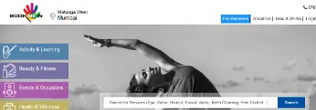
Online web based services booking Sites, shared Calendaring and Marketplaces.
Expert solutions in the fields of GIS, IoT, ML and Analytics. Get the most out of your resouces, manage Operations and liberate productivity.